Utah is set to experience a sudden change in weather as a cold front moves through the region. This will result in
A cold front is expected to sweep through the entire state of Utah, bringing freezing temperatures to different areas. This comes just days after the state experienced a record-breaking temperature of 100F for the first time this year.
Temperatures in Salt Lake City by 7 a.m. on Sunday, June 16, had already dropped by 17 degrees Fahrenheit compared to the same time on Saturday.
The temperature is expected to drop significantly on Monday, with a high of 76F. This is 13F lower than the high temperature recorded on Saturday, which was 89F.
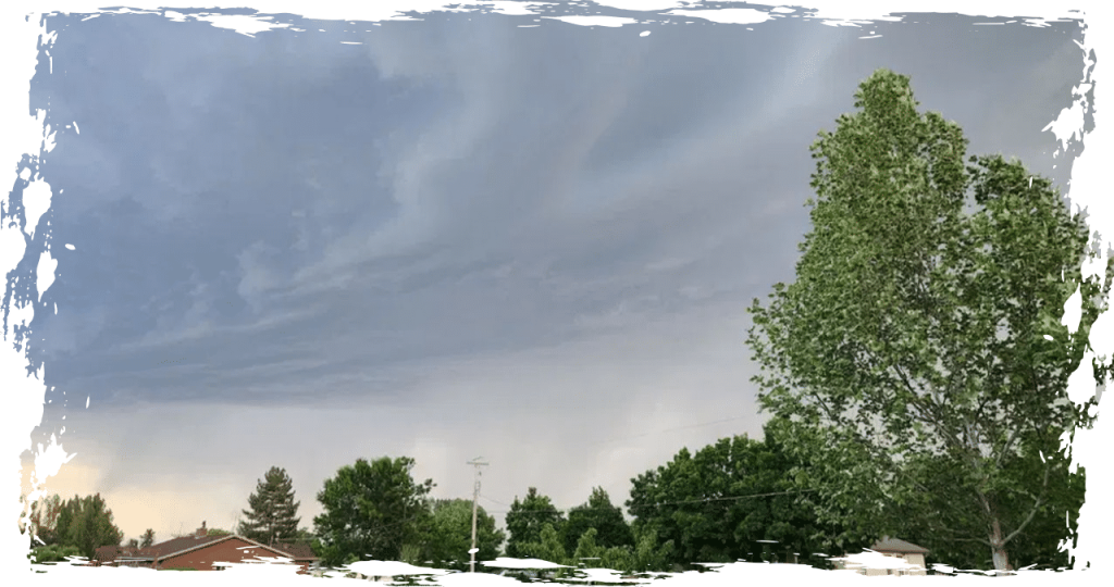
On Monday morning, northern Utah will experience a cold front moving in from the northeast. The front is expected to hit Salt Lake around 11 a.m., while southern Utah will feel its effects later in the evening.
No precipitation is anticipated with the arrival of the front.
On Tuesday, the temperature in Salt Lake will drop further, reaching a high of 68F.
The National Weather Service has issued a Freeze Warning covering several areas of the Wasatch Back, which include Park City, Huntsville, and Heber City. This warning will be in effect from Monday night until Tuesday morning.
Temperatures at or below 32F are anticipated in these regions.
The conditions have been cautioned to pose a severe threat to crops, with the possibility of causing harm or even death to them.
The Cache, Rush, and Sanpete valleys could experience frost in the near future.