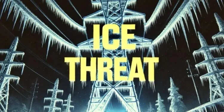
A dangerous late-season ice storm is expected to hit Northern New England tonight, with forecasts warning of widespread freezing rain that could bring down power lines and tree branches.
According to the NOAA Weather Prediction Center, considerable ice accumulation is expected in sections of Massachusetts, Vermont, New Hampshire, and New York through Saturday night. Power outages and tree damage are more likely in areas like Albany, Concord, and Bangor, where ice totals approach or surpass one quarter inch.
The storm system, which began affecting the region Saturday morning, is part of a larger meteorological trend that extends from the Central Plains to the Northeast. Ice and snow have already hampered traffic and utility services in sections of the northern Great Lakes, including Michigan’s Upper Peninsula and northern Wisconsin.
Officials urge residents to stay off the roads, as untreated surfaces will become slippery and dangerous. Officials advise planning for possible extended outages by charging electronics, securing backup heat sources, and avoiding unnecessary travel.
This ice threat follows an unusually active March weather pattern. Forecasts indicate that temperatures will drop further into early next week, creating hazardous conditions even after the storm has passed. The updates will continue as fresh warnings are issued.


