
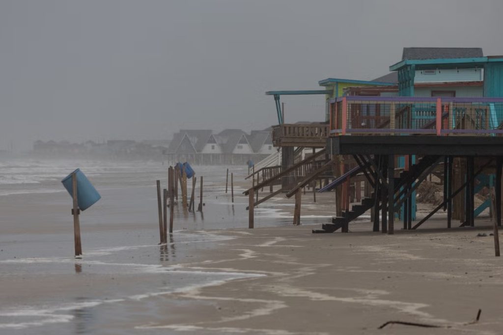
As of 1 a.m., Beryl is now a Category 1 hurricane with winds reaching 80 mph. Beryl made landfall near Matagorda just before 4 a.m.
Winds and rains will impact multiple communities as Beryl moves inland throughout Monday. KPRC 2 Meteorologist Caroline Brown emphasizes that Beryl’s landfall doesn’t signify the end—it’s just the beginning.
We still face storm surges, heavy downpours, and tropical tornadoes. Please take these warnings seriously, as you would with any severe weather alert.
As Beryl strengthens, its core has tightened, focusing hurricane-force winds on the coast. Matagorda, Sargent, and Bryan Beach may experience winds over 75 mph. In Houston, Sugarland, The Woodlands, Liberty, and Katy, winds will range from 58 to 73 mph. There’s still a risk of widespread power outages, downed trees, and potential roof damage.
Beryl’s bands continue to move in Sunday evening ahead of landfall.
Beryl’s tropical rain bands will bring torrential rain, causing flooding and reduced visibility.
Rain totals will generally be between 5 to 10 inches, with some localized areas receiving up to 13 inches. A flood watch is in effect. Remember to turn around and not drown.
Here’s the rainfall timeline:
As Beryl moves north, Monday morning will be gusty with tropical showers and storms. Southeast Texas will start to dry out, with inland areas possibly seeing relief by the afternoon. By 7 PM, coastal areas will say goodbye to Beryl’s rain.
As rain bands swirl inland, there is a risk of tornadoes. A Tornado watch is in effect until 10 AM Monday for most of Southeast Texas. Have a safety plan in place and a way to receive alerts.
Read More:
- An Ohio man was attacked by a shark while playing football in water at ‘shark bite capital of the world’
- Bryson Muir’s Grandmother Expresses ‘Relief’ After Making Two 911 Calls to Request Police Assistance