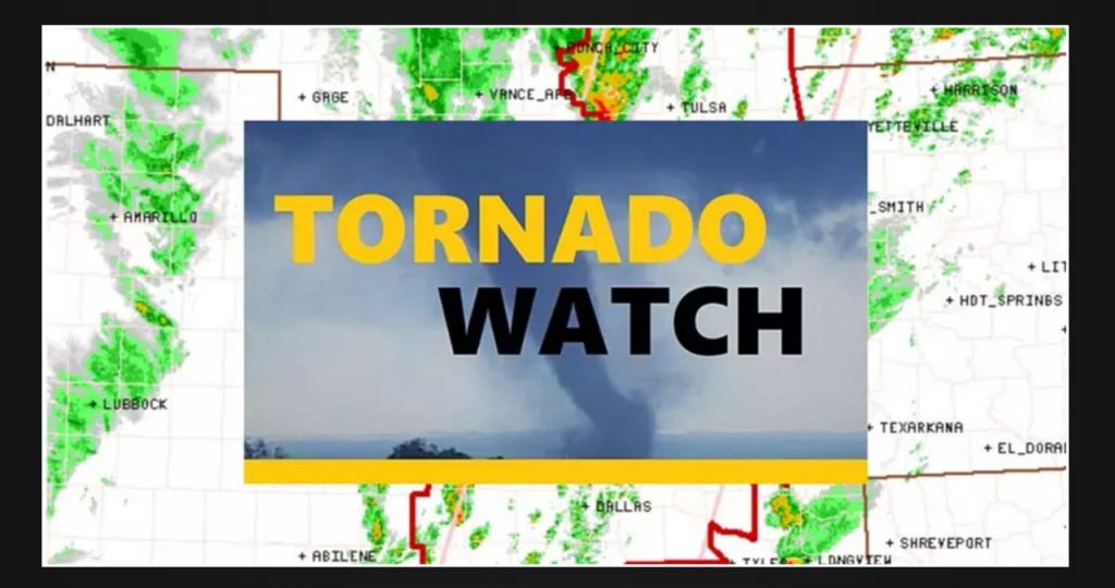
The National Weather Service Storm Prediction Center in Norman, Oklahoma has issued a tornado watch for a large area of eastern Oklahoma and parts of north-central and northeastern Texas. This watch will remain in effect until 6 p.m. Monday.
The watch area presents several significant risks, including tornadoes that could reach intense levels with wind speeds exceeding 111 mph. Additionally, there is a possibility of scattered damaging wind gusts reaching up to 70 mph, as well as the potential for hail. Some of the hailstones could be as large as golf balls or even larger in size.
Numerous showers and thunderstorms are currently being triggered across Oklahoma, Texas, Arkansas, Missouri, and Kansas by a slow-moving cold front. In the Oklahoma City Metro on Sunday night, 11 people were injured by tornadoes.
The line of thunderstorms in the watch area is predicted to become stronger as the afternoon progresses. These storms may develop into supercells and bowing lines, which have the potential to cause destructive winds and tornadoes.
The tornado watch area stretches about 75 miles from east to west, following a line that starts 45 miles south-southeast of Fort Worth and ends 35 miles northwest of Grove, Oklahoma.
The image above shows a Tornado Watch alert from the NOAA Storm Prediction Center.
The tornado watch includes Dallas and Fort Worth, along with the following counties in the area:
Collin, Cooke, Dallas, Delta, Denton, Ellis, Erath, Fannin, Franklin, Grayson, Hood, Hopkins, Hunt, Jack, Johnson, Kaufman, Lamar, Montague, Palo Pinto, Parker, Rains, Red River, Rockwall, Somervell, Tarrant, Titus, Van Zandt, Wise, and Wood counties in Texas.
A Tornado Watch indicates that there is a likelihood of tornadoes and severe thunderstorms in the designated area. People residing in these areas should stay vigilant for any signs of dangerous weather conditions and stay updated by listening to subsequent statements and potential warnings.
Severe storms will move eastward and southeastward throughout the night. Northeast Texas should prepare for severe storms starting Monday evening, while Deep East Texas can expect the line of storms to affect them after midnight.
